
We had a lot of rain and snow in the high country the past several days and with my Mt Bike bike in the shop and Chris back from Cabo we thought Red Pine lake would be a great hike. Our good friends Brock, Corvin and Jace are in town and always up for an adventure so we loaded the Jeep and headed up Little Cottonwood Canyon.

.


The trail head is at the White Pine parking lot. It sits at 7,650 feet of elevation (GPS N40, 34.516'; W111, 40.868'). As you start down the trail you cross a bridge and turn west (right) an follow the trail up the mountain. The trail was flooded with water and to quote Jace "it's like we have been hiking straight up a water fall all day". Do not let that discourage you from doing this hike. the views are out standing! The smell of pine fills the air and with the right shoes the water is really no big deal.


The trail splits into two trails at about 1 mile. You can go left up canyon to White Pine Lake or right to Red Pine Lake. As you follow the trail to the right you will cross a bridge in about 50 yards (N40, 33.93; W111,41.351).

 The trail is an easy traverse up the mountain. At 2.9 miles (8,952 feet, N 40, 33.197'; W 111, 41.725) there is a second bridge that if you take the right turn and cross it, it will take you the May Bird area. Stay to the left and follow the trail. At times you are following the stream. Just walk on the rocks and stay off the mossy bog to the right. It is wet and muddy.


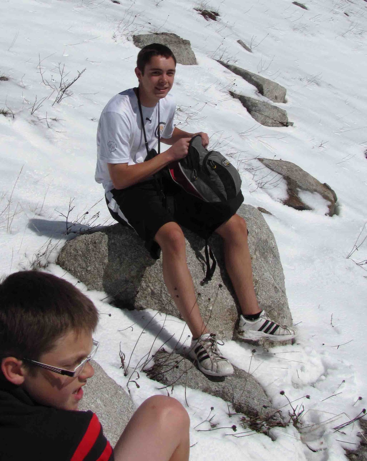
We took a short rest here to rehydrate and ask a fellow hiker if we were on the right path and what the snow conditions we were headed into. We got the trail report and excited to continue on ward. We kept moving.


As we continued up the trail it became completely covered in snow! We tracked upward in the snow. We all agreed that the next time we do this hike we are bringing our skis! To ski down this slope today would had been an all time Epic experience! We kept on walking up the steep trail. We finally figured out we were on the Phiferhorn trail and above the lake. We work our way to the left using the peaks to guide us to where the lake should be. Bam! As we came over the ridge there it was! Lower Red Pine Lake! Ya! Get out the beef jerky ! Lets eat! Yep! Beef jerky, gummy bears and water! It was an well earned snack!
The lake sits at 9,700 feet above sea level (N40, 32.671'; W111,41.524') 3.51 miles from the trail head. What a view! This is impressive! It was a blast! First in the mud then in the water and then snow! What a hike! We are now headed back. I can not wait to do this hike in the summer!


 As we headed back we continued to talk about the time in the future we will on e day come and ski this mountain! As we continued to hike we took photo's and continued to take in the surroundings.
Hike stats: 7.57 miles, 7,400 vertical feet, 2,178 calories burned, max speed 8 miles/hour and it took us just over 3 1/2 hours to complete the hike. It was a blast! I am looking toward the next hike! We are hiking Kings Peak soon with this same group! I can not wait!


No comments:
Post a Comment